



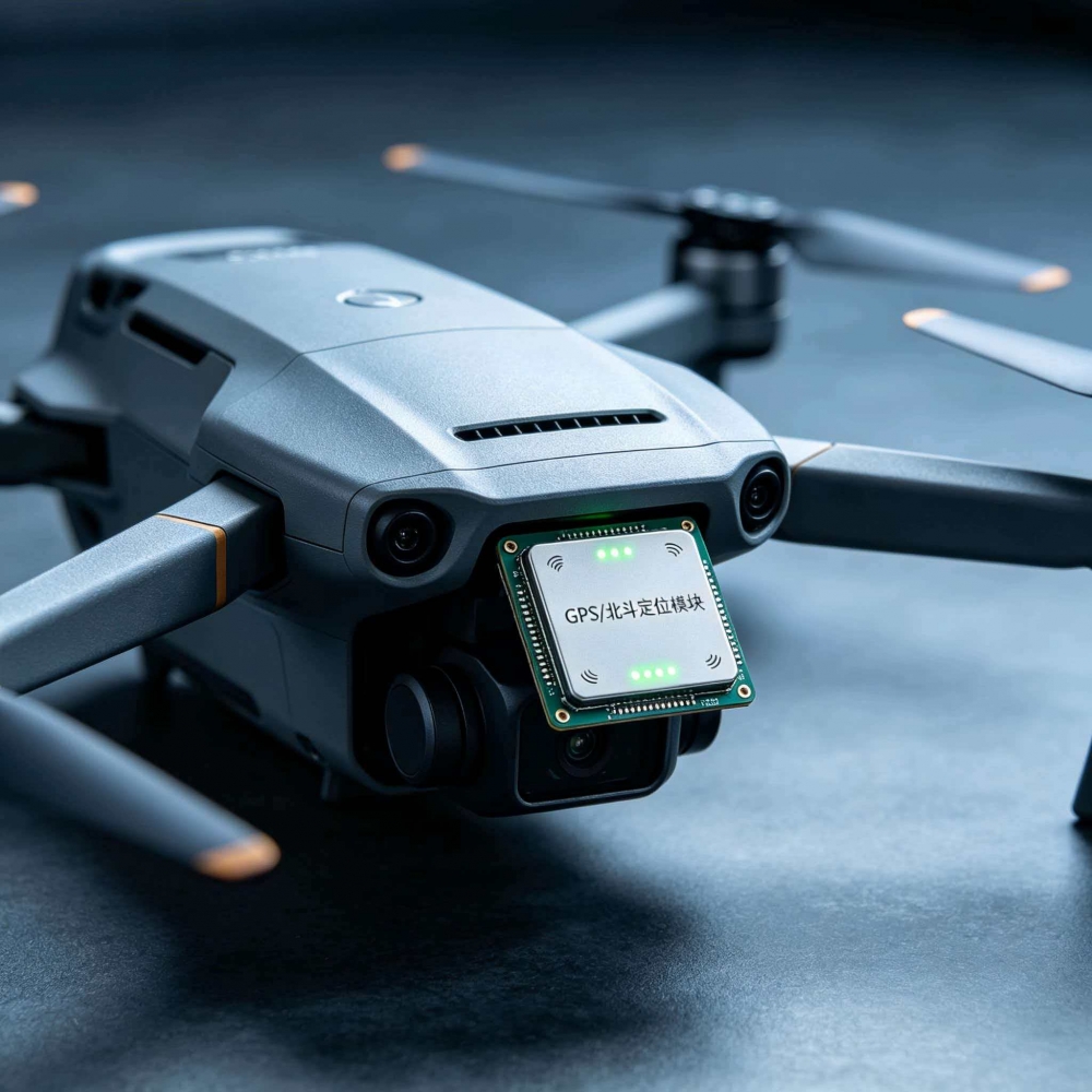

Core Operating Principles
Satellite Signal Reception
The module is equipped with a built-in ceramic surface-mount GNSS antenna that simultaneously captures radio ranging signals from dozens of satellites across different navigation systems when unobstructed; the abundance of BeiDou satellites in domestic airspace significantly enhances satellite acquisition redundancy.
Signal Demodulation and Ranging
The internal RF chip amplifies and filters satellite signals, calculates the signal propagation delay from each satellite to the drone, converts this into distance, and filters out multipath interference caused by reflections from buildings and trees.
Spatial Coordinate Calculation
The module locks onto at least 4 valid satellites simultaneously and calculates latitude, longitude, and altitude using triangulation algorithms; multi-satellite fusion significantly reduces single-point positioning errors.
Data Output and Integrated Navigation
Positioning frames (NMEA protocol) are transmitted to the flight controller via a serial port (UART); high-end modules feature a built-in IMU (Inertial Measurement Unit), which uses inertial data to temporarily maintain positioning when satellite signals are lost—known as GNSS+IMU integrated navigation.
Flight Controller-Coordinated Correction
The flight controller combines GNSS position data with IMU acceleration and gyroscope data to compensate for drift, enabling stationary hovering, trajectory correction, and automatic return-to-home.
Two Major Technical Categories of GNSS Modules (Most Common Classification for UAVs)
1. Single-Frequency, Single-Point GNSS Modules (meter-level accuracy; standard configuration for consumer drones)
Supported Frequencies: L1 single-frequency only (GPS L1, BeiDou B1I)
Satellite Systems: GPS + BeiDou dual-mode / Four-satellite full-mode (GPS/BDS/GLO/GAL)
Positioning Accuracy: 1–3 m horizontally in open areas; drift can reach 5–10 m among tall buildings or under tree cover
Update Rate: Primarily 10 Hz, with a few at 20 Hz
Representative Models: U-blox NEO-M8N, M10 Series
Features: Compact, lightweight, low power consumption, and affordable; no base station required. Suitable only for basic intelligent flight functions in aerial photography and recreational drones; not capable of high-precision surveying or crop protection applications.
2. Dual-Frequency RTK GNSS Modules (Centimeter-Level Accuracy, Industrial-Grade Professional Drones)
RTK = Real-Time Kinematic Differential Positioning, a core configuration for industrial drones
Supported Frequencies: L1+L5 dual-frequency, compatible with all BeiDou-3 frequency points (B1/B2/B3)
Operating Mode: Works with a ground reference station or network CORS differential service; the reference station and onboard module simultaneously track satellites, with the differential correction eliminating errors caused by the ionosphere and atmosphere
Positioning Accuracy: Horizontal ±1–2 cm, Vertical ±3–5 cm
Update Rate: 20 Hz/50 Hz, providing faster positioning response during high-speed flight
Additional Features:
① Dual-Antenna Orientation: Two GNSS antennas calculate the aircraft’s true heading without magnetic compass drift;
② IMU-tightly coupled integrated navigation: Maintains centimeter-level positioning even during brief signal loss in forests or between buildings;
③ Electromagnetic interference (EMI) filtering, suitable for complex electromagnetic environments such as power plants and mining areas
Representative Models: U-blox ZED-F9P, Hexin Xingtong UM982, CUAV RTK Module



 131-2899-0370

 2899280091
 xilinx@casi-ic.com
 Elan Tsao